As an Amazon Associate, we earn from qualifying purchases. Some links on this site are affiliate links at no extra cost to you. Our recommendations are based on thorough research and editorial judgment.

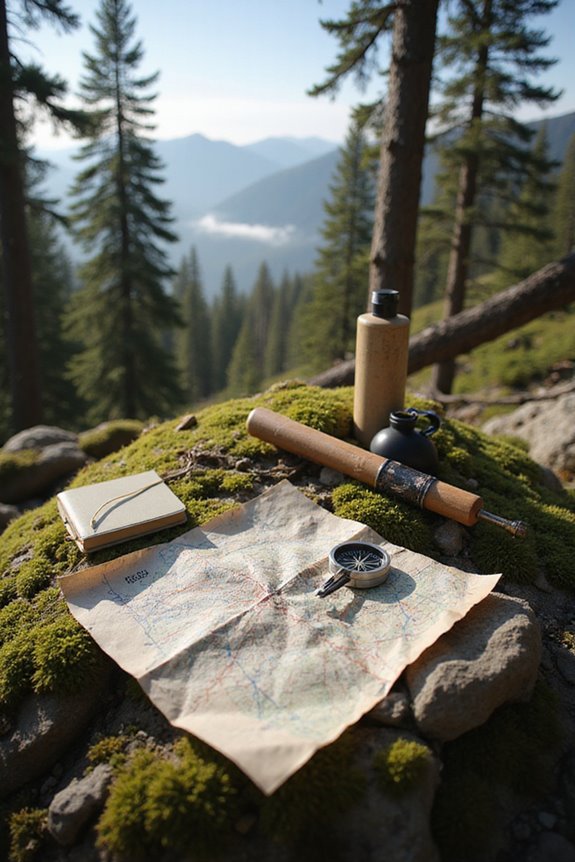
How to Navigate Trails Without GPS

Navigation without GPS depends on preparation and practice: carry a detailed topographic map and compass, learn to take and follow a bearing, estimate distance, recognize terrain and landmarks, and plan for weather or an unexpected night out. Digital tools can supplement those skills, but they should not be your only plan where batteries or signal may fail.
Key Takeaways
- Learn to read contour lines, map symbols, scale, trail junctions, water features, and terrain before starting the hike.
- Practice compass bearings and account for the local magnetic declination shown on a current map or navigation resource.
- Use dead reckoning with a known starting point, direction, distance estimate, time, and visible landmarks, then cross-check frequently.
- Plan around elevation, weather, water, daylight, hazards, group ability, turnaround points, and an emergency contact who knows the route.
- Carry a map, compass, light, extra food and water, weather-appropriate layers, and a communication or emergency device when appropriate.
Understanding Topographic Maps
You may be interested



Topographic maps are like a secret language for outdoor explorers, offering a detailed glimpse into the terrain they’re about to traverse. With contour interpretation, adventurers can decipher the steepness of hills and valleys, as closely spaced lines indicate steep climbs, while wider spacing suggests a gentler slope. Map symbols play an essential role, too; black lines show trails and roads, while blue marks rivers and lakes, guiding explorers through nature’s maze. Imagine spotting concentric circles representing a hill—it’s like finding treasure on paper! Recognizing these features not only aids in navigation but also helps avoid tricky spots, making every hike a little less intimidating and a lot more exciting. Understanding these maps transforms the outdoors into an adventure waiting to unfold.
Mastering Compass Skills

Mastering compass skills opens up a whole new world for outdoor adventurers, transforming a simple hike into an exhilarating treasure hunt. A compass isn’t just a piece of metal; it’s a trusty sidekick. To get started, understanding compass calibration is key—aligning the orienting arrow with the magnetic needle keeps you on track. When taking a bearing, point the direction of travel arrow at your target, then rotate the bezel until the needle aligns. Don’t forget about bearing adjustments! Factors like magnetic declination can throw you off, so make those tweaks before heading out. Practice makes perfect, and soon you’ll navigate dense forests or winding trails like a pro, all while keeping your sense of adventure alive.
Recommended Products

Precise military-grade pocket compass with NdFeB rear earth magnet and sapphire jewel bearing

PROFESSIONAL GRADE: Trcosenp professional compass will always lead you in the right direction. The compass hiking survival are ideal for camping, military usage, emergencies, navigation and anywhere the beaten track takes you. It's also a good choice as the gifts for kids.
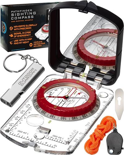
PRECISION AT YOUR FINGERTIPS! Enjoy your outdoor adventures with confidence, wherever you are. Our magnetic, mirrored sighting compass features a global needle so you can be assured of accurate readings in both the northern and southern hemispheres, while the declination adjustment means you’ll always know your magnetic north from your true north.
Utilizing Dead Reckoning Techniques
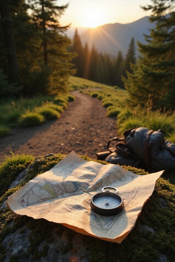
Once adventurers have a solid grip on their compass skills, it’s time to explore another exciting method of navigation: dead reckoning. This technique builds on the dead reckoning basics by allowing travelers to estimate their current position based on a known past point, factoring in direction and distance traveled. To start, they should pick an identifiable landmark as their reference point. Next, they can determine their intended direction using their compass and estimate distance using pace counting or timing their speed. It’s like playing a game of connect-the-dots, where each step brings them closer to their destination. While errors can accumulate over long distances, dead reckoning remains a reliable tool, especially when GPS signals vanish into the wilderness.
Observing Natural Environmental Cues
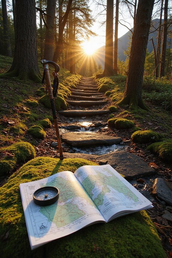
While many adventurers may instinctively reach for their GPS devices, there’s a whole world of natural cues waiting to be discovered, offering a more grounded way to navigate the great outdoors. Observing landmark recognition can make a significant difference; for instance, a unique rock formation or a winding river can serve as a reliable guide. Additionally, understanding vegetation patterns can reveal essential clues—different trees indicate varying elevations and soil types. For example, treelines can help adventurers determine their altitude, while south-facing branches might hint at the sun’s position. By tuning into these natural signs, explorers can connect with their surroundings and navigate with confidence, turning every journey into an immersive experience, free from technology’s confines.
Planning Your Route and Terrain Awareness
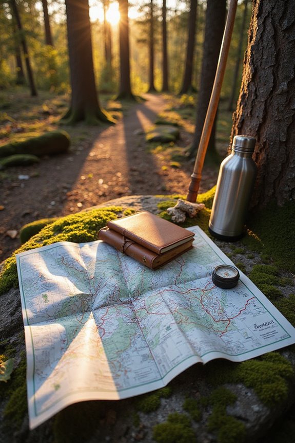
Planning a route in the great outdoors is like drafting a map for adventure, where each decision can lead to breathtaking views or unexpected challenges. Successful route planning begins with understanding topographic maps, allowing adventurers to interpret contour lines and identify terrain features. Spotting natural landmarks, like majestic mountains or winding rivers, can serve as visual guides. When evaluating terrain difficulty, one must consider steepness, elevation gain, and potential hazards. Digital tools, such as CalTopo, enhance route evaluation and visualization. Finally, awareness of environmental cues—like changes in vegetation—can help navigate the journey. By combining these elements, outdoor enthusiasts can create well-informed plans, ensuring their adventure is both thrilling and safe.
Recommended Products


Developing Navigation Skills Without Instruments
Traversing the great outdoors without a GPS can feel like stepping back in time, where instincts and nature’s clues serve as one’s guiding light. To navigate effectively, one must learn to identify natural landmarks, like distinctive trees or rock formations, that serve as waypoints. Using pacing techniques, such as counting steps to estimate distance, becomes essential; for instance, using a personally calibrated pace count or time estimate can help track progress, but cross-check it against the map and terrain. Observing the sun’s position during the day or using the North Star at night can greatly enhance directional awareness. Additionally, understanding terrain, like avoiding cliffs or dense thickets, guarantees efficient travel. With practice, anyone can develop these skills, fostering a deeper connection with nature and boosting confidence on the trail.
Before leaving, tell someone your route and expected return, check current trail and weather conditions, and understand local emergency procedures. Navigation skills reduce risk but cannot remove hazards; turn around when conditions or visibility become unsafe.
Frequently Asked Questions
What Should I Do if I Get Lost on a Trail?
Stop, stay calm, and assess your last known location using the map, compass, landmarks, and any available device. If it is safe and you can identify the route, retrace your steps; otherwise stay put unless there is an immediate threat, make yourself visible, and contact emergency services or your trip contact. Share the trail, last known location, clothing, group details, and any medical needs.
How Do I Handle Bad Weather While Navigating?
When facing bad weather, one should prioritize weather preparedness and trail safety. This includes evaluating conditions, seeking natural shelter, adjusting pace, and ensuring proper gear is utilized to navigate safely through adverse environments.
Can I Use My Smartphone for Navigation Without GPS?
You can use a phone with pre-downloaded maps, a compass app, stored route information, and location services when available, but do not rely on it as your only navigation or emergency tool. Protect the battery, carry a paper map and compass, and confirm that the app’s map coverage matches the trail.
What Are Common Mistakes to Avoid in Navigation?
Common mistakes in navigation include poor map reading skills and failure in landmark identification. Neglecting to practice or familiarize oneself with terrain features can lead to disorientation and ultimately getting lost during outdoor excursions.
How Do I Improve My Navigation Skills Over Time?
Like a sculptor chiseling away at marble, one can improve navigation skills over time by mastering map reading and honing compass skills, regularly practicing in diverse environments, and cultivating situational awareness to enhance overall proficiency.