As an Amazon Associate, we earn from qualifying purchases. Some links on this site are affiliate links at no extra cost to you. Our recommendations are based on thorough research and editorial judgment.

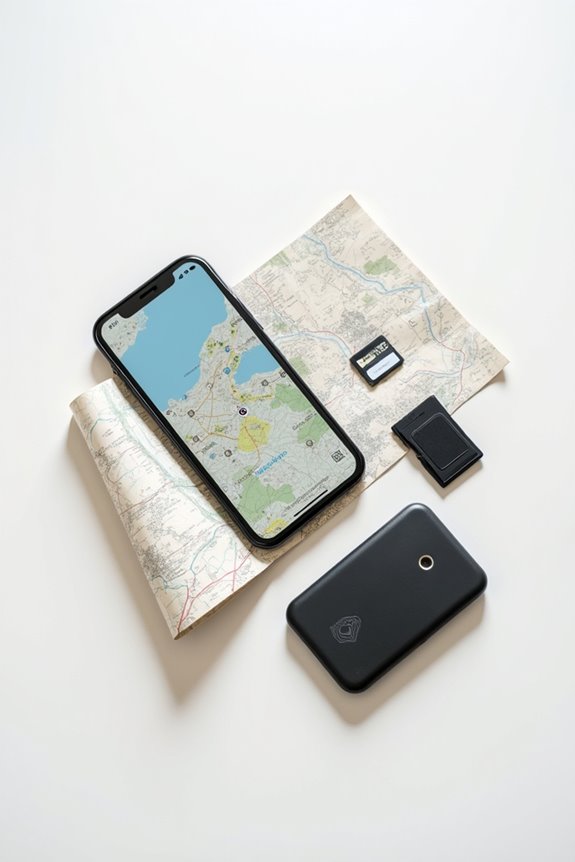
How to Store Digital Maps for Offline Use

Offline map preparation starts before you lose connectivity. Choose the app or file format that matches your device, download the exact area and layers you need, test the map in airplane mode, check available storage, and keep a paper map and compass for routes where navigation matters. Update the files before departure and do not treat an offline map as a substitute for route planning.
Key Takeaways
- Download the route, surrounding area, basemap, trail data, and any layers required for the trip before leaving coverage.
- Test the saved map with connectivity disabled and confirm that search, zoom, location, and route references behave as expected.
- Choose vector, raster, tile, or GIS formats according to the app, detail, editing needs, and available storage.
- Keep files organized, remove obsolete caches, and update maps when trail conditions, roads, or access information may have changed.
- Carry a paper map, compass, backup battery, and emergency plan when offline navigation is safety-critical.
Understanding Offline Map Storage Methods
You may be interested



When it comes to storing digital maps for offline use, a bit of understanding can go a long way, especially if one wants to avoid the dreaded “storage full” notification. Offline maps are primarily stored as tile storage, which can be made up of raster images or, better yet, vector maps. Vector maps are the heroes here; they take up less space while still delivering quality zoom levels and detail. Imagine trying to download an entire region, like a quarter of California—yikes! The storage required varies with the app, map area, zoom levels, layers, and file format, so check the download size before saving a large region. So, choosing vector maps over raster can save space and keep your device running smoothly. Balancing your offline map collection with other data, like photos, is key to a stress-free experience.
Preparing Maps for Offline Use

Storing digital maps for offline use isn’t just about having the right tools; it’s about preparing those maps so they work seamlessly when the internet isn’t around. Offline map preparation involves defining specific map areas in applications like ArcGIS Field Maps or ArcGIS Pro, guaranteeing they’re customized to include all necessary assets. It’s like packing a bag for a trip—only take what you truly need! Data accessibility is vital; mobile workers can capture and edit data on-the-go, syncing it later when they’re back online. Plus, managing layers, whether vector or raster tiles, guarantees that everything is ready for any adventure. So, gear up, prepare those maps, and enjoy exploring without a data signal!
Popular Applications & Platforms Supporting Offline Maps
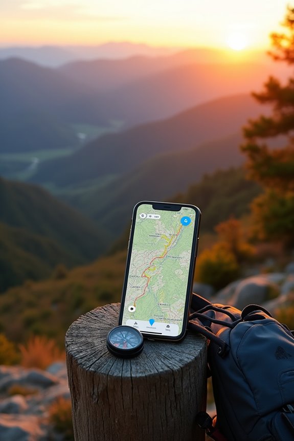
Finding the right application for offline maps can feel like searching for a needle in a haystack, especially when so many options are out there. Among the favorites is MapFactor Navigator, which offers offline maps using OpenStreetMaps and even TomTom for those who crave accuracy. Then there’s Maps.me, a gem that boasts entirely offline maps and turn-by-turn direction, all updated by dedicated OpenStreetMap contributors. CoPilot GPS keeps things simple with easy-to-read instructions, while Here WeGo shines for city explorers, offering maps for over 100 countries. Even Google Maps has some offline tricks up its sleeve, although it may not be as thorough. With these choices, traversing offline becomes a breeze, no matter where your adventures take you!
Technical Considerations for Offline Maps

Charting the world of offline maps can feel like commencing a treasure hunt, where each technical consideration is a clue leading to a successful adventure. To embark on this journey, one must consider offline map synchronization, which guarantees that any edits made offline are smoothly synced back once connectivity is restored. When it comes to feature layer considerations, not all layers play nicely offline; some, like map notes, can be left behind due to their structure. Additionally, downloading the right map areas means packaging data smartly, which can save precious storage space on devices. Balancing resolution and size is key, as larger areas can gobble up space faster than a hungry treasure hunter.
Benefits of Offline Maps
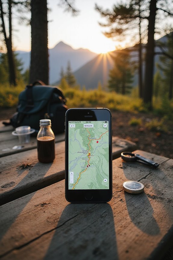
While many may take for granted the convenience of online maps, the benefits of offline maps can truly transform the way one navigates the world. Imagine being out hiking, surrounded by nature, with no cell signal in sight. Offline maps guarantee uninterrupted navigation, enhancing user experience in remote areas. They save on data, keeping costs low, especially when roaming internationally—no more surprise bills! Plus, they help devices run longer by conserving battery life, making them perfect for extended outdoor adventures. With offline maps, safety increases; travelers can confidently explore without worrying about losing connectivity. Ultimately, these practical applications not only enhance navigation but also empower users to roam freely, embracing the journey with peace of mind.
Best Practices for Managing Offline Maps
Managing offline maps effectively can feel like opening a treasure chest of navigational possibilities. To guarantee a smooth experience, it’s essential to optimize map data—think smaller files and simplified layers to save space and speed up downloads. Implement user authentication to keep track of who’s accessing what, avoiding messy overlaps and guaranteeing accountability. Data synchronization becomes your best friend; regular updates help keep information fresh, especially when users sync their edits after a trip. Also, consider segmenting areas among team members—this prevents chaotic edits and protects data integrity. With these best practices, offline maps transform from mere tools to essential companions, making every adventure not just possible, but enjoyable!
Local Data Storage Formats for Offline Maps
When it comes to storing digital maps for offline use, choosing the right local data storage format can feel like picking the perfect pair of shoes for a long hike. Among the popular options, the PBF format stands out for its advantages, like being highly compressed and optimized, perfect for OpenStreetMap data. On the flip side, the OGC GeoPackage shines with its ability to handle multiple layers and projections, making it a versatile choice. Other formats, like OSM XML and MBTiles, have their uses too, but they may not be as efficient. Ultimately, selecting the right format depends on specific needs—whether it’s the speed of PBF or the flexibility of GeoPackage, each has something unique to offer.
Downloading and Caching Offline Basemaps
After selecting the right format for storing digital maps, the next step is all about getting those basemaps onto devices for offline adventures. Users can harness built-in app functions like “Generate Cache” to select regions interactively. Imagine zooming in on that perfect hiking trail or drawing a bounding box around a city you want to explore—all while ensuring efficient tile caching. It’s essential to monitor progress with notifications, ensuring those tiles are saved correctly for quick access. Plus, organizing cached maps into dedicated folders makes life easier. And let’s not forget: when the maps are rendered beautifully, users can truly enjoy the offline experience, all while keeping their storage needs in check. Happy caching!
Optimizing Offline Data for Mobile Devices
Manage offline data by downloading only the areas and layers you need, removing outdated caches, checking available storage, and keeping a current backup. Compression or lower-detail layers may save space, but verify that the result remains readable and useful at the scale of your route.
Before relying on an offline map, test it with mobile data and Wi-Fi disabled, record your route and expected return with someone you trust, and carry a backup navigation method for remote or hazardous terrain.
Frequently Asked Questions
Can I Use Offline Maps Without a GPS Signal?
Yes, you can view a downloaded map without a GPS signal, but the device may not show your live position. GPS, mobile data, and internet access are different functions: offline maps remove the need for a data connection, while positioning still depends on the device’s location hardware or another reference. Carry a map and compass when accuracy matters.
How Do I Delete Old Offline Maps From My Device?
Like pruning a garden, deleting maps nurtures the device’s storage. By managing storage effectively, users can remove old offline maps, ensuring their digital landscape remains clear and efficient for future navigation adventures.
What Happens if My Device Runs Out of Storage?
When a device runs out of storage, map downloads fail, leading to errors. Storage optimization techniques, including map compression, can alleviate space issues, enabling users to maintain necessary offline maps without performance degradation.
Are Offline Maps Updated Automatically When Online?
Offline maps do not receive automatic updates unless connected online for syncing. Users typically must manually initiate updates or adjust settings for automatic updates, depending on the app’s capabilities and user preferences.
Can I Share Offline Maps With Other Users?
Like a treasure chest locked away, offline maps present limited sharing options. User permissions often hinder access, complicating distribution. Therefore, sharing these digital gems necessitates careful navigation through technical landscapes and potential restrictions.